
 Your Guide to Space
Guide
Earth observation is space making Earth more legible.
Weather, climate, disasters, agriculture, ships, emissions, infrastructure, and economic activity can all be measured from orbit. The value comes from repeat coverage, sensor type, latency, and decisions changed on the ground.
A beautiful image is not automatically useful data. Ask what sensor collected it, how often it can return, how fast the data arrives, and who can act on it.
Sources reviewed June 2026
Everyday value
Some of space's biggest impact points back at Earth.
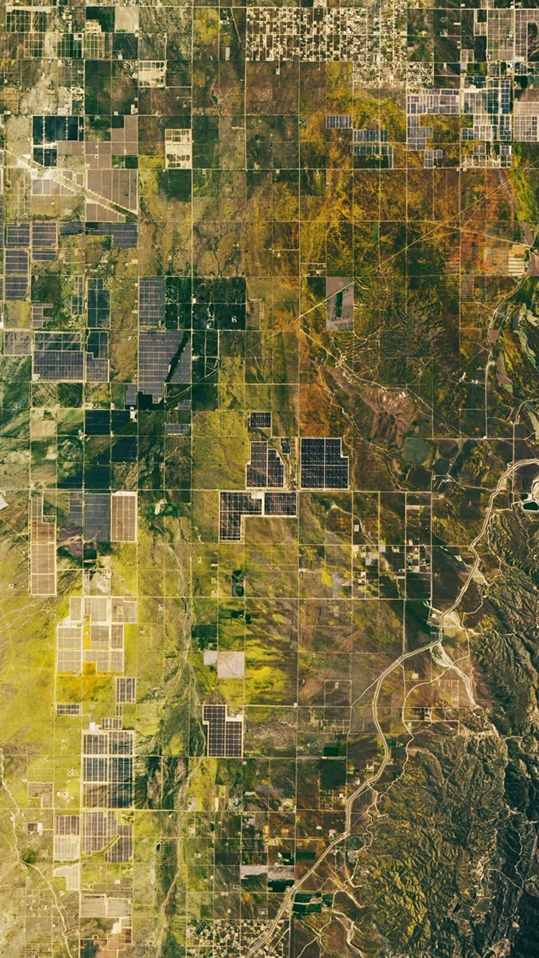
Earth observation is one of the clearest working uses of space infrastructure. Satellites help track storms, fires, crops, oceans, ships, ice, emissions, infrastructure, disasters, and broad economic activity.
The key is measurement, not just imagery. Optical, infrared, radar, microwave, and other sensors answer different questions, and revisit rate can matter more than resolution for fast-changing events.
Public agencies and commercial providers both matter. Government weather and science missions provide durable baselines, while commercial data can add speed, specialization, and decision support.
Data value
Satellite data becomes useful in three steps.
Measure the right signal
Optical, radar, infrared, weather, ocean, and emissions sensors reveal different parts of the planet.
Return often enough
Revisit rate and coverage decide whether the data captures change rather than a static snapshot.
Reach a decision maker
Latency, access, interpretation, and trust decide whether observations become forecasts, warnings, logistics, policy, or response.
What counts
The best Earth observation claims name the use case.
A claim should specify sensor type, revisit, latency, resolution, data access, and decision value. Without those, it is hard to tell whether the mission is practical or just pretty.
Earth observation is one of space's most practical existing markets, but claims should specify sensor, revisit rate, resolution, and use case.
Sensor fit
Optical, infrared, radar, microwave, and weather instruments answer different questions. A strong claim names what was measured and why that sensor was appropriate.
Revisit and latency
Disaster response, weather, ships, fires, and crops often need repeat coverage and fast delivery more than a single sharp image.
Access and trust
Calibration, validation, open archives, licensing, and clear metadata decide whether observations can be reused by scientists, agencies, companies, and responders.
Decision value
Earth data matters when it changes a forecast, warning, insurance decision, farm plan, climate record, emergency response, or public policy choice.
Infrastructure link
Earth data depends on launch, satellites, ground systems, and regulation.
Earth observation looks simple when it arrives as a map layer. Behind it are spacecraft, launch cadence, ground stations, calibration, data processing, distribution, and rules for commercial remote sensing.
That is why this guide sits between science, business, and policy. Measuring Earth from orbit is practical, but not automatic.
How to follow it
Watch sensor, cadence, and decision value.
The most useful updates mention weather reliability, disaster response, synthetic aperture radar, emissions products, data-buying programs, and whether AI interpretation improves real decisions.
Higher revisit rates
Synthetic aperture radar growth
Climate and emissions products
AI-assisted data interpretation
Government and commercial data-buying programs
Common traps
These shortcuts make the story less accurate.
Earth Observation headlines can make one milestone sound like a finished system. These distinctions keep the update tied to what was actually demonstrated, decided, or still missing.
A beautiful image is not always useful data.
Resolution is not the only metric; revisit and latency matter.
Commercial imagery does not replace public weather and science missions.
Next steps
Keep the roadmap in view
Get major space updates, set launch reminder interest, or keep exploring the Roadmap that turns space progress into a readable system.